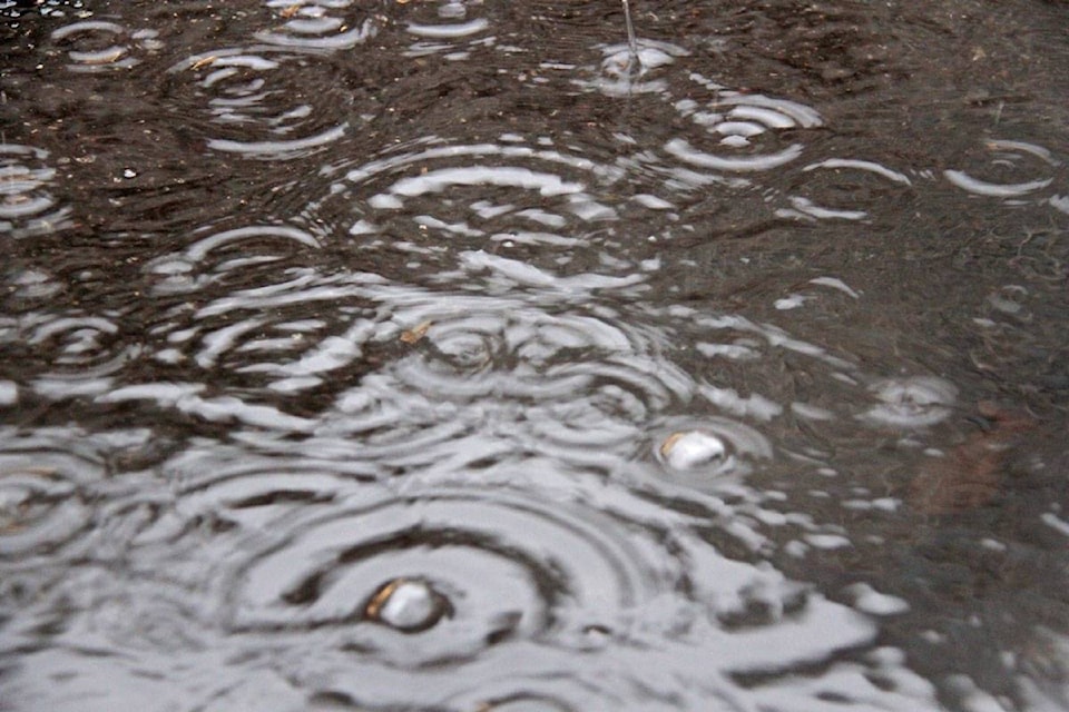
A special weather statement is in effect for the Okanagan calling for potential heavy downpours and thunderstorms this afternoon and over night.
“An unstable atmosphere will lead to widespread showers with the risk of embedded thunderstorms over southern B.C. this afternoon and evening,” Environment Canada said in the alert issued just before 1 p.m., Tuesday, May 12.
Total rainfall amounts could range between 5 millimetres to upwards of 30 mm in areas affected by thunderstorms.
The heaviest precipitation is expected east of Okanagan Lake and in the Kootenays.
The national weather agency warns the public and emergency mangers to be prepared for sudden and heavy downpours.
“With snowpacks now primed for melt, the added rainfall could contribute to increased runoff in some areas including the Okanagan and Kootenay-Boundary regions,” the alert said.
Showers and risk of thunderstorms could continue tomorrow, but less rainfall is expected.
“Remember: When thunder roars, go indoors.”
READ MORE:
READ MORE:
Caitlin.clow@vernonmorningstar.com
Like us on and follow us on .


