A little bit of snow and then warming up again.
That is the weather forecast for the Okanagan this week.
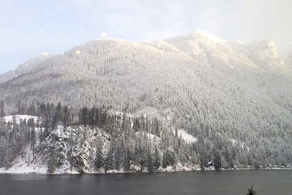
“Basically, we have an arctic front moving through later today,” explained Doug Lundquist, warning preparedness meteorologist for Environment and Climate Change Canada. “We’ll have a couple of cool nights here, snow for Wednesday and then warming up from there.”
Lundquist expects 3 to 5 cm of snow over higher terrain on Wednesday, a little less across the Okanagan Valley bottom. Daytime temperatures will range from -6 C (Wednesday) to 3 C. Snow flurries are expected for Monday and Tuesday night, with flurries or rain showers likely on Friday.
There is good news heading into Feburary.
“Groundhog Day is basically the end of winter in B.C.,” added Lundquist. “We can get some snow, but it doesn’t stick around and we may have a cold snap for a day or two. The middle of February is another marker point. That’s when we start to see the grey of winter give way to brighter days.”
DriveBC reported vehicle incidents on the Coquihalla between Hope and Merritt on the weekend due to heavy snowfall.
Read More: 91���Ѽ’s Big White ski resort got 6cm of snow overnight
Read More: Avalanche control complete; Highway 1 reopens in both directions west of Revelstoke
gary.barnes@kelownacapnews.com
Like us on and follow us on and subscribe to our daily and subscribe to our daily newsletter.


