UPDATE 11:30 a.m.
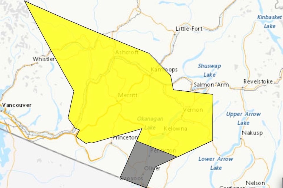
Environment Canada has added a severe thunderstorm watch.
The watch ranges from Penticton to Enderby and west, covering the Thompson-Okanagan, including Kamloops, Merritt, Ashcroft, Lytton, and Cache Creek. It also is in place north of Pemberton.
"Conditions are favourable for the development of severe thunderstorms that may be capable of producing strong wind gusts, large hail and heavy rain," stated Environment Canada.
Original
A cold front in the forecast that's expected to come through the Okanagan is going to bring windy conditions with it.
On Wednesday, Aug. 13, Environment Canada issued a special weather statement ranging from north to south from Enderby to Osoyoos, as far east as Cherryville and as far west of Westwold.
"A cold front will sweep through the southern interior later today and gusty northerly winds are expected through the Okanagan Valley," said Environment Canada. "These winds are expected to develop this afternoon over northern Okanagan Lake then spread southwards through the early evening."
Wind is expected to range from 20-40 km/h with gusts reaching 70 km/h. Because of the conditions, boaters are to use caution and be prepared on the water.
Throughout Wednesday, there is also a 40 per cent chance of showers with a risk of a thunderstorm in the afternoon and into the early evening.


