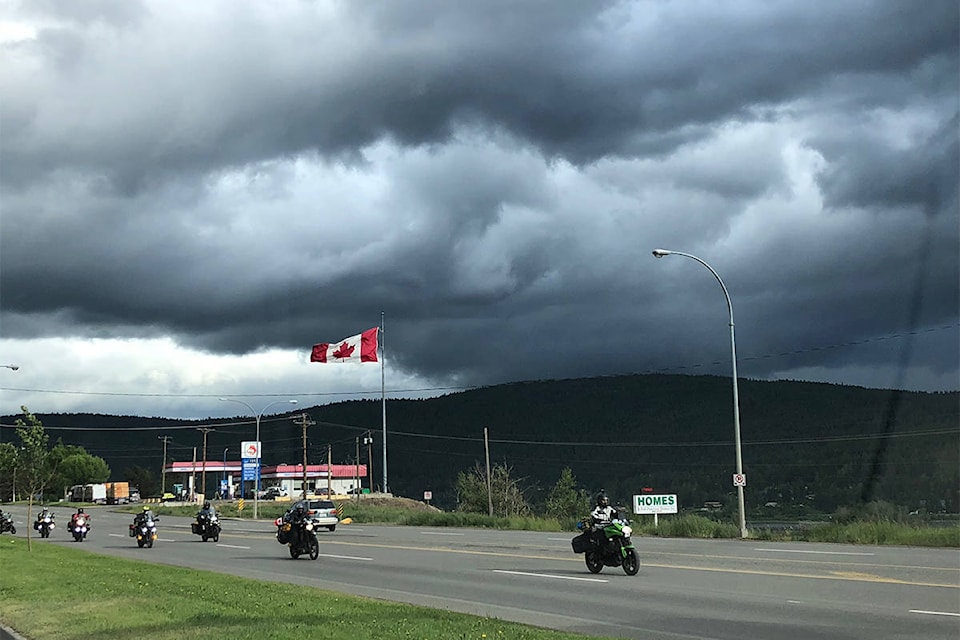
The entire Okanagan is under a severe thunderstorm watch.
“Conditions are favourable for the development of severe thunderstorms that may be capable of producing heavy rain,” reads the alert from Environment Canada.
“The strong upper ridge of high pressure has moved into Alberta which has caused the airmass to become moist and unstable over the B.C. Interior. The main thunderstorm threat will be rainfall rates of up to 25 milimetres in one hour due to the slow motion of the storms.”
In northeast BC the threat of severe thunderstorms should be confined near the Rockies where there is also the risk of wind gusts up to 90 km/h.
READ ALSO: CHERRY SEASON HAS ARRIVED
“Strong wind gusts are also possible. Intense lightning is likely with any thunderstorm that develops,” reads the alert.
“Heavy downpours can cause flash floods and water pooling on roads. Lightning kills and injures Canadians every year.”
Please continue to monitor alerts and forecasts issued by Environment Canada. To report severe weather, send an email to BCstorm@canada.ca or tweet.
To report a typo, email:
newstips@kelownacapnews.com.
kmichaels@kelownacapnews.com
Like us on and follow us on .


